 Loading... Please wait...
Currency Displayed in
- Home
- Maps By Sport
- Canoe Maps Canada
- Ross River Mapbook
Categories
Related Products
-
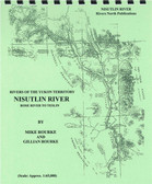 Nisutlin River Mapbook $12.95
 -
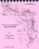 Pelly River Mapbook $21.95
 -
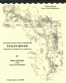 Teslin River Mapbook $16.95
 -
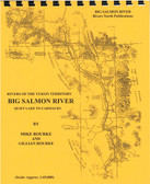 Big Salmon River Mapbook $15.95
 -
 Stewart River Mapbook $21.95

Ross River Mapbook

Hover over image to zoom
)
Product Description
Ross River - Sheldon Lake to Ross River
Until recently this river was avoided due to tales of notorious rapids and unrunnable canyons. There are rapids, of course, but other than at very high water levels, they can be run by the experienced canoeist or portaged. Beginning at Sheldon Lake, the Ross runs southward about 185 kilometers (115 miles) to empty into the Pelly River just above the historic community of Ross River. The scenic panoramas and wildlife sightings are as plentiful as the evidence of man's encroachment is lacking. The North Canol Road provides access to Sheldon Lake or a float plane can be chartered from Ross River. A covered canoe is suggested for this exciting trip, for although most of the rapids are short, some large standing waves and haystacks will be encountered. Allow about 5-7 days to Ross River and by all means consider continuing down the Pelly River to Pelly Crossing.
The maps are at an approximate scale of 1:65,000 and include current and historic site names, details of all river impediments, geographic identifiers, detailed descriptions of all rapids and possible campsite locations. This publication also includes the history of the river, a detailed description of the river itself, suggestions for equipment and a bibliography for further reading for history buffs.