 Loading... Please wait...
Currency Displayed in
- Home
- Maps By Sport
- Canoe Maps Canada
- Teslin River Mapbook
Categories
Related Products
-
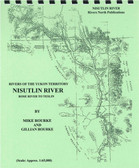 Nisutlin River Mapbook $12.95
 -
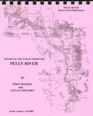 Pelly River Mapbook $21.95
 -
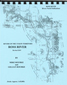 Ross River Mapbook $10.95
 -
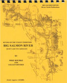 Big Salmon River Mapbook $15.95
 -
 Stewart River Mapbook $21.95

Teslin River Mapbook

Hover over image to zoom
)
Product Description
Teslin River - Johnsons Crossing to Carmacks
Very desirable for its almost untouched wilderness, excellent fishing and beautiful scenery, this tributary of the Yukon River also offers a spattering of historical remains influenced by the ever present search for gold in the north. Approximately one week will permit a paddling canoeist to travel from Johnson's Crossing to Carmacks on the Yukon River. No serious impediments to navigation are encountered allowing even an amateur, using common sense, to travel its length. Distance from Johnson's Crossing to its confluence with the Yukon River at Hootalinqua, is about 200 kilometers (125 miles). From here to Carmacks, on the Yukon River, is another 177 kilometers (110 miles).
The maps are at an approximate scale of 1:65,000 and include current and historic site names, details of all river impediments, geographic identifiers, possible campsite locations, and GPS coordinates on every page. This publication also includes the history of the river (including the Yukon River portion), a detailed description of the river itself, suggestions for equipment and a detailed bibliography for further reading for history buffs.