 Loading... Please wait...
Currency Displayed in

- Home
- Travel Maps
- Portugal Travel Map
Categories
Related Products
-
 Victoria Map Travel Map $14.95
 -

-
 Bolivia Map Travel Map $12.95
 -
-


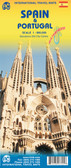
Portugal Travel Map

Hover over image to zoom
)
Product Description
Freytag folded road map of Portugal at 1:500,000 with city maps for Lisbon and Porto, tourist information, colour photos & index with postal codes. Best quality travel map that you can buy for your trip to Portugal.