 Loading... Please wait...
Currency Displayed in
- Home
- Canadian Hydrographic Nautical Charts/Maps
- Atlantic Coast
- 4921 - Plans, Baie des Chaleurs/Chaleur Bay (côte nord/North Shore)
Categories
Related Products
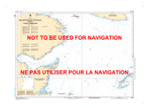

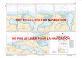
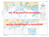
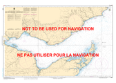
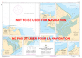
4921 - Plans, Baie des Chaleurs/Chaleur Bay (côte nord/North Shore)
 Canadian Hydrographic Nautical Charts Marine Charts (CHS) Maps 4921")
Hover over image to zoom
, $20.00 (https://gotrekkers.com/plans-baie-des-chaleurs-chaleur-bay-cote-nord-north-shore-chs-nautical-chart-chs-4921/))
Product Description
Plans, Baie des Chaleurs/Chaleur Bay (côte nord/North Shore) CHS Nautical Chart CHS 4921
Scale: 1 : 50,000
Nautical Charts of Canada by the Canadian Hydrographic Service (CHS) for the navigation of Canadian waters & waterways. Whether it be commercial or for leisure these are the official charts by the CHS.
Click here to view a PDF version of our Atlantic Coast index map. (large download)