 Loading... Please wait...
Currency Displayed in



- Home
- Travel Maps
- Taiwan Travel Map
Categories
Related Products
-
 California Travel Map $9.95
-
 Rhodes Travel Map $9.95
-

-
 New Zealand Travel Map $9.95
-


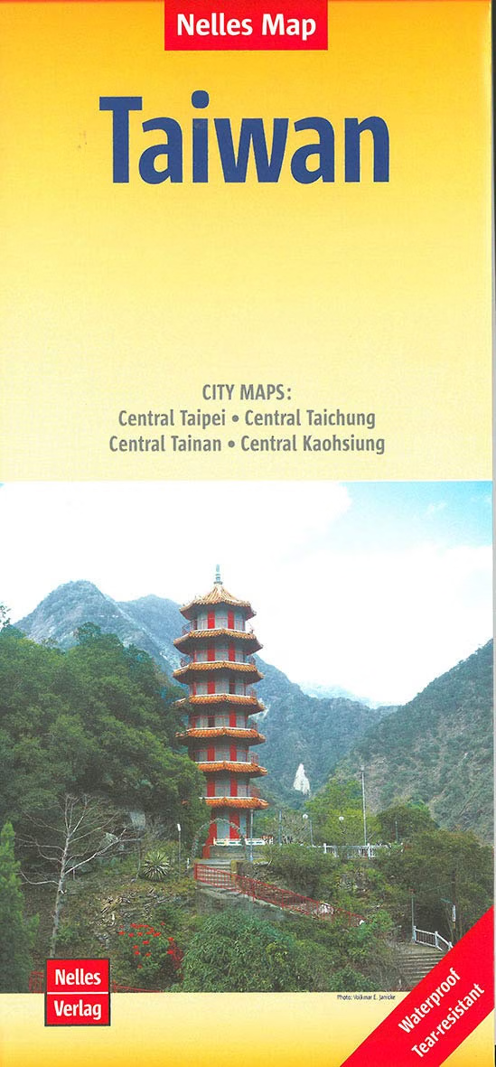
Taiwan Travel Map
Hover over image to zoom


)
Product Description
Taiwan at 1:400,000 on a waterproof and tear-resistant, double-sided map from Nelles in a convenient format for use when travelling, with a large street plan of central Taipei plus plans of central Taichung, Tainan and Kaohsiung, all highlighting numerous places of interest. All place names, both on the main map and on the street plans, are shown only in the Latin alphabet. The map divides the island north/south with a good overlap, showing its road and rail networks on a base with relief shading and spot heights to indicate the topography. Local airports and ferry routes to the Penghu (Pescadores), Lutao (Green) and Laynu (Orchid) Islands are marked, and the map also shows the internal administrative boundaries with names of the provinces. National parks and other protected areas, plus numerous places of interest are highlighted. The map has margin ticks at intervals of 30’ and is not indexed. Map legend includes English.