 Loading... Please wait...
Currency Displayed in
- Home
- Maps By Sport
- Canoe Maps Canada
- Southern Indian Lake to South Seal River map - SYNTHETIC
Categories
Related Products


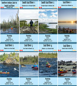
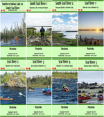
Southern Indian Lake to South Seal River map - SYNTHETIC

Hover over image to zoom
)
Product Description
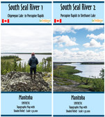
Topographic Map of Southern Indian Lake/ Moss Lake to the South Seal River (Chipewyan Lake), Manitoba
Scale of 1:50,000 with shaded relief. Contours are in 10m and 50m intervals. Dimensions of 41.5x18 inches
Shows Campsites, rapids information, portages, and helpful advice when using the map.
Map is printed on synthetic/waterproof paper and comes folded in a protective plastic sleeve