 Loading... Please wait...
Currency Displayed in
- Home
- Maps By Sport
- Canoe Maps Canada
- South MacMillan River Mapbook
Categories
South MacMillan River Mapbook
Product Description
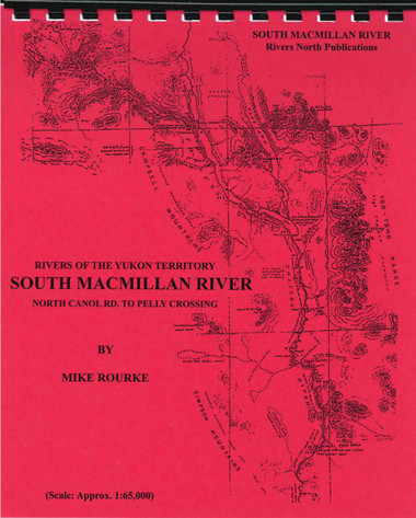
South MacMillan River - North Canol Road to Pelly Crossing
The South MacMillan is a remote, wilderness river which, due to its length and hazards, is not recommended for the novice river traveler. Rapids will be encountered, some of which will almost certainly require portaging or at the least, lining. It is 510 kilometers (317 miles) from the South MacMillan River bridge No. 1 on the North Canol Road to Pelly Crossing. You should allow 10 - 16 days for paddling in a covered canoe.
The maps are at an approximate scale of 1:65,000 and include current and historic site names, details of all river impediments, geographic identifiers, and possible campsite locations. This publication also includes a brief history of the river (including the Pelly River portion), suggestions for equipment, detailed descriptions of the river by sections and pictures of rapids.

