 Loading... Please wait...
Currency Displayed in
- Home
- Travel Maps
- Slovakia Hungary itmb Travel Map
Categories
Slovakia Hungary itmb Travel Map
Product Description
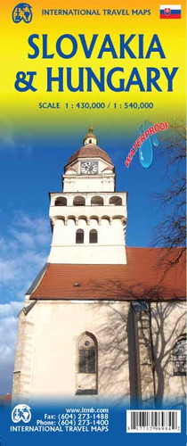
We are pleased that, at long last, we re-introduce a travel map for Slovakia. This country was created out of the former Czechoslovakia when the two entities agreed to separate following the demise of the Soviet empire in the early 1990s. It is perhaps not as well-known as it should be, but it is a very attractive travel destination. We had cause to visit it on several occasions, we have very fond memories of the country itself. Bratislava has emerged as a thriving and interesting city, the road network of the country is steadily improving, its crucial position bordering Ukraine gives it strategic advantages, and the rustic nature of much of the countryside provides a charm that is hard to beat. We have combined the map with a separate map of Hungary on the other side, in the belief that the two countries constitute an excellent joint travel experience. We have a separate map for Hungary and Budapest, which will continue, but we wanted to give the Slovakia map a wider marketing appeal than just the country itself. Both maps provide excellent detail for roads and urban areas, and for points of interest, parks, rail lines, and historic sites.
Map size: 27*39"
This map combines the map of Slovakia (1:430,000) with a separate map of Hungary (1:540,000) on the other side, in the belief that the two countries constitute an excellent joint travel experience. Both maps provide excellent detail for roads and urban areas, and for points of interest, parks, rail lines, and historic sites.


