 Loading... Please wait...
Currency Displayed in
- Home
- Maps By Sport
- Canoe Maps Canada
- Pelly River Mapbook
Categories
Pelly River Mapbook
Product Description
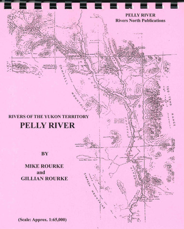
Pelly River - Big Campbell Creek to Fort Selkirk
Depending on the point of entry and the level of the water, the Pelly River offers a wide range of water conditions. Beginners should not attempt the section above Ross River without an experienced river traveler among them. Below Ross River, care must be taken to avoid occasional rocks and log piles. Maneuvering skills may be needed in running the rapids. There are detailed sketches of all rapids encountered. Surprisingly untraveled for its accessibility, the river sees most local travel occurring in the fall. A great variety of scenery is encountered and wildlife is abundant. The few communities enroute provide supply stops or entry/egress points. The journey from Big Campbell Creek to Pelly Crossing, about 480 kilometers (300 miles), can generally be covered in about two weeks. If you plan to travel all the way to Dawson, you will want to also purchase the Yukon River - Carmacks to Dawson publication.
The maps are at an approximate scale of 1:65,000 and include current and historic site names, details of all river impediments, geographic identifiers, and possible campsite locations. This publication also includes the history of the river, a detailed description of the river itself including expanded detailed sketches of rapids, suggestions for equipment and a detailed bibliography for further reading for history buffs.

