 Loading... Please wait...
Currency Displayed in
- Home
- Travel Maps
- Myanmar Burma itmb Travel Map
Categories
Myanmar Burma itmb Travel Map
Product Description
After years of stagnation and international sanctions, Burma, albeit under its name Myanmar is suddenly ‘hot’ again. The military regime has made sufficient concessions to enable sanctions to be removed and the country is now moving at lightening speed to improve infrastructure and develop businesses. As a travel destination, Myanmar is similar to Vietnam in the mid-1990s; get in here while it is still relatively pristine! The country is safe, the people are lovely, and the scenery is unsurpassed. This is probably the number one ‘exotic’ travel destination for 2014 and our map has been updated as much as possible for a country changing so quickly. I was in Burma in 1969 and loved it. Even at that time, there were difficulties getting permission to visit Mandalay and the buses were WW2 Canadian troop carriers. This will be a popular title!
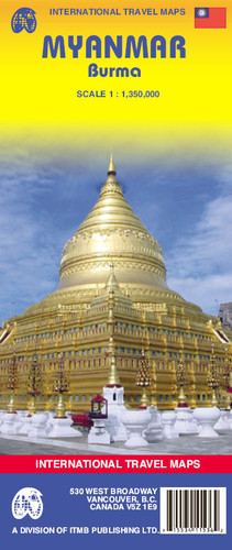
Indexed map of Burma at 1:1,350,000 from ITMB with large, clear street plans of central Yangon (Rangoon) and Mandalay, plus an enlargement of the Bagan area. The map is double-sided, dividing the county north-south with an overlap between the sides; each side is provided with a separate index of localities.
Altitude colouring presents the topography, with spot heights given in feet. The map shows the country’s road and rail networks, as well as locations of local airports. National parks and various places of interest are highlighted. Also shown are local administrative boundaries with names of the provinces. Latitude and longitude grid is at intervals of 1º.
The map includes street plans of Yangon (Rangoon) and Mandalay, annotated with symbols showing accommodation and other tourist facilities, temples and places of interest, etc. Also included is an enlargement at 1:40,000 of the Bagan area, highlighting its numerous temples and pagodas.


