 Loading... Please wait...
Currency Displayed in
- Home
- Travel Maps
- Kenya Tanzania Uganda Travel Map
Categories
Related Products
-
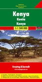 Kenya Travel Map $9.95
 -
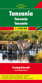 Tanzania Travel Map $9.95
 -
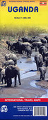 Uganda Travel Map $9.95
 -
-
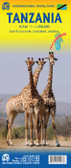 Tanzania itmb Travel Map $9.95

Kenya Tanzania Uganda Travel Map

Hover over image to zoom
)
Product Description
Freytag folded road map of Kenya, Tanzania & Uganda at 1:2,000,000 with tourist information, climatic charts, distance chart and index. Map also includes inset of the Kenya Coast (12"x8") with places to stay, Mombasa (4"x6") and Nairobi (8"x6") city map. Best map of its quality to buy for travelling in Kenya, Tanzania and Uganda, Africa.
Africa East: Kenya - Tanzania - Uganda at 1:2,000,000 on an indexed map from Freytag & Berndt, with street plans of central Nairobi, Dar Es Salam, Kampala, Kigali, Bujumbura and Dodoma. Coverage includes the whole of Rwanda and Burundi, plus the Lake Malawi area with Lilongwe.
Cartography is this updated edition provides a much finer presentation of the topography, with relief shading, spot heights and names of various mountain ranges, valleys, etc, plus colouring and/or graphics for forested areas, deserts, marshland and swaps, salt pans, etc. National parks and other protected areas are prominently marked.
The map provides an overview of the regions’ road and rail networks, including selected minor local roads and tracks, with driving distances shown on main and many secondary routes. Domestic airports are marked, as well as ferry routes along the coast and on Lake Victoria, Lake Tanganyika and Lake Malawi. Symbols indicate various places of interest. Latitude and longitude lines are drawn at 2º intervals. The index is on the reverse. Map legend includes English.
Also provided are street plans of central Nairobi, Dar Es Salam, Kampala, Kigali, Bujumbura and Dodoma.