 Loading... Please wait...
Currency Displayed in
- Home
- Travel Maps
- Iran and Tehran itmb Travel Map
Categories
Iran and Tehran itmb Travel Map
Product Description
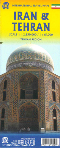
ITMB double-sided, folded map of Iran at 1:2,350,000 with tourist information, index, colour photos and inset for Central Tehran at 1:15,000 (5"x7"). Great map to buy for travelling in Iran.
Double-sided map from the Vancouver-based ITMB showing on one side an indexed road map of Iran at 1:2,350,000 with altitude colouring to show the country’s topography, plus on the reverse a street plan of central Tehran, also indexed. All place names on both the road map and the street plan are in the Latin alphabet only.
On one side is an indexed map presenting Iran at 1:2,350,000, with bold altitude colouring to show its topography. Road network indicates driving distances on main routes and highlights sections which used to be parts of the Silk Road. Railway lines are included and local airports are marked. Symbols indicate various places of interest, some annotated with brief notes. Latitude and longitude lines are drawn at 2º intervals.
On the reverse is a very clear street plan of Tehran, indicating main traffic arteries across the city, metro stations and showing of various facilities and places of interest including petrol stations, embassies or consulates, selected hotels, etc. Accompanying index lists main streets, squares and neighbourhoods. Also provided is a diagram of the metro network, plus a small road map of the city’s environs, including access to the Alborz Mountains.


