 Loading... Please wait...
Currency Displayed in
- Home
- Maps By Sport
- Canoe Maps Canada
- Great Slave Lake Yellowknife to East Arm Map - SYNTHETIC
Categories
Great Slave Lake Yellowknife to East Arm Map - SYNTHETIC
Product Description
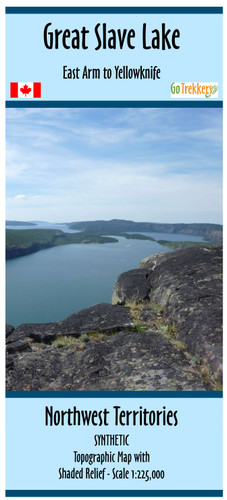
Map with shaded relief showing the area from Yellowknife to the East Arm of Great Slave lake, NWT. Scale 1:300,000. Size 41" x 29"
Map of Canoe area Great Slave Lake, Yellowknife to East Arm, NWT
This is the better map for the East Arm unless you are going from Fort Resolution.
Printed on synthetic/waterproof paper


