 Loading... Please wait...
Currency Displayed in
- Home
- Travel Maps
- Bosnia Montenegro Travel Map
Categories
Bosnia Montenegro Travel Map
Product Description
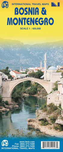
Bosnia-Herzegovina and Montenegro presented at 1:400,000 on a double-sided road map from ITMB. The map divides the region north/south, with a very generous overlap and Sarajevo included on both sides. Coverage includes the whole of Kosovo. Names of larger towns in Montenegro, Kosovo and in the adjoining regions of Serbia are also shown in the Cyrillic alphabet.
In contrast to most ITMB road map, this title has a single-colour base without any altitude colouring to show the topography, but includes spot heights and plenty of names of mountain ranges, etc. National parks and protected areas are highlighted. Road network shows driving distance on main and selected small roads. Railway lines are included and local airports are marked. Symbols highlight various places of interest. The map has latitude and longitude lines at 20’ intervals. Each side has a separate index.


