 Loading... Please wait...
Currency Displayed in



Categories
Related Products
-

-
 Mines of Moria Map on Canvas $50.00
-
 The Carta Marina on paper $49.95
-
-

The Carta Marina on canvas
Hover over image to zoom


)
Product Description
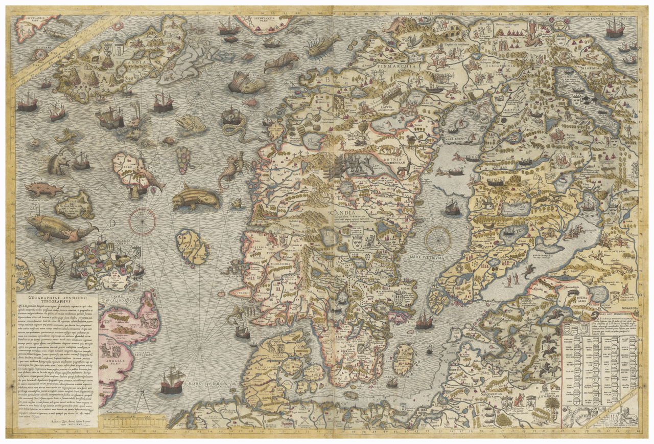
The Carta Marina is the first detailed and accurate map of the Nordic countries, created by the Swedish geographer and historian Olaus Magnus and published in Venice in 1539. Olaus Magnus spent 12 years drafting the map before its release. The map is famous for depicting daily Nordic life, Sami culture, and dramatic sea monsters that served as real or symbolic warnings of maritime dangers. It is one of the earliest accurate cartographic depictions of the Scandinavian Peninsula.
Printed on canvas and shipped rolled in a tube
The dimensions of this map are 41.5 x 62 inches