 Loading... Please wait...
Currency Displayed in
- Home
- Canadian Hydrographic Nautical Charts/Maps
- Ontario, Manitoba & Great Lakes
- 6216 - Sturgeon Channel to/à Big Narrows Island
Categories
Related Products
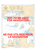

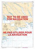
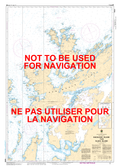
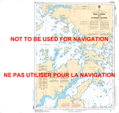
6216 - Sturgeon Channel to/à Big Narrows Island
 Maps 6216")
Hover over image to zoom
)
Product Description
Sturgeon Channel to/à Big Narrows Island CHS Nautical Chart CHS 6216
Scale: 1 : 40,000
Nautical Charts of Canada by the Canadian Hydrographic Service (CHS) for the navigation of Canadian waters & waterways. Whether it be commercial or for leisure these are the official charts by the CHS. Charts are ordered on Demand. Charts are shipped folded by default.
If you need charts shipped rolled in a tube this is possible but please email a list of charts required with a ship to address so an approximate shipping cost can be obtained.
Click here to view a PDF version of our Ontario, Manitoba & Great Lakes index map. (large download)