 Loading... Please wait...
Currency Displayed in
- Home
- Maps By Sport
- Canoe Maps Canada
- South Nahanni River Map Set - SYNTHETIC
Categories
South Nahanni River Map Set - SYNTHETIC
Product Description
South Nahanni River Map Set at a scale of 1:100,000 with shaded relief. The maps measure 41.5" x 14"
The map has the information needed to paddle the river including coordinates in DMS and decimal degrees for warden cabins, hike starts, points of interest and rapid classifications.
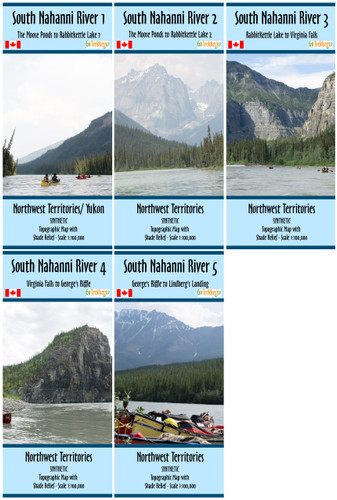
South Nahanni River 1 - The Moose Ponds to Rabbitkettle Lake 1
South Nahanni River 2 - The Moose Ponds to Rabbitkettle Lake 2
South Nahanni River 3 - Rabbitkettle Lake to Virginia Falls
South Nahanni River 4 - Virginia Falls to George's Riffle
South Nahanni River 5 - George's Riffle to Lindberg's Landing
Printed on synthetic/ waterproof paper


