 Loading... Please wait...
Currency Displayed in
- Home
- Maps By Sport
- Canoe Maps Canada
- Seal River 3 - Great Island to Kilometer 170 map
Categories
Seal River 3 - Great Island to Kilometer 170 map
Product Description
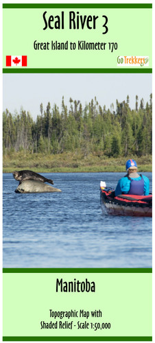
Topographic Map of the Seal River 3 - Great Island to Kilometer 170, Manitoba
Scale of 1:50,000 with shaded relief. Contours are in 10m and 50m intervals. Dimensions of 41.5 x 13 inches
Shows Campsites, rapids information, portages, and helpful advice when using the map.
Map is printed on paper and comes folded in a protective plastic sleeve


