 Loading... Please wait...
Currency Displayed in
- Home
- Maps By Sport
- Canoe Maps Canada
- Quetico Provincial Park Map
Categories
Quetico Provincial Park Map
Product Description
Quetico Provincial Park, located in northwestern Ontario on the international border with Boundary Waters Canoe Area Wilderness in Minnesota, is one of the world's finest paddling destinations.
Quetico is a superb network of beautiful lakes and rivers connected by short portages (average ~300 metres!) that bypass occasional rapids and a large number of waterfalls. Ideal paddling terrain. And the goal here IS wilderness paddling. Period! And that's something you can't say about any other park in North America.
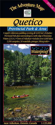
Text and colour photos cover the entire backside of this 91x66cm (26x36 inch) waterproof map (folded to 4x9 inches). You'll find information about the geologic and natural history of the area, the rich human history, pictographs, fishing, backcountry procedures & etiquette, sample routes, safety tips, contact information and much more. There is even a reference system to the major lakes - we've surveyed nearly 6,000 for this map - as well as 564 portages, 32 falls, and over 4,400 islands!
This 1:125,000 scale planning map has extraordinary geographic detail plus ranger stations, entry points, portages, island names, lake elevations, historic attractions and many other features. Also covers areas outside the Park including the northern edge of Boundary Waters Canoe Area Wilderness. On waterproof plastic.


