 Loading... Please wait...
Currency Displayed in
- Home
- Travel Maps
- Mexico Travel Map
Categories
Related Products
-
-
-
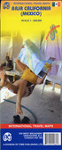
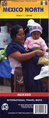 Mexico North Travel Map $9.95
 -
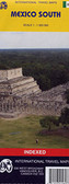 Mexico South Travel Map $9.95
 -
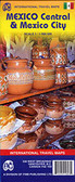
 Mexico Travel Map fb $9.95

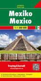
Mexico Travel Map

Hover over image to zoom
)
Product Description
ITMB double-sided, folded map on waterproof paper of Mexico, (1:2,000,000) with place name indexes. A best map buy for Mexico.
Mexico at 1:2,000,000 on an indexed, double-sided, waterproof and tear-resistant map from ITMB with altitude colouring to show the topography, plus large additional panels presenting clearly drawn street plans of central Mexico City, Guadalajara and Oaxaca. The map divides the country north/south with an overlap between the sides; coverage includes the whole of Belize and northern Guatemala up to Guatemala City.
Bold elevation colouring shows the topography, with names of mountain ranges, etc, plus spot heights. Road network indicates toll expressways and shows distances and locations of petrol stations on main routes. Railway lines are included and local airports are marked. Symbols highlight various places of interest including beaches, national parks and turtle sanctuaries, archaeological and historical locations, UNESCO World Heritage sites, etc. The map has latitude and longitude lines at 1º intervals and each side has a separate index.
Large, clear street plans show central Mexico City, Guadalajara and Oaxaca, highlighting selected hotels, restaurants, shopping centres, cultural institutions, etc.