 Loading... Please wait...
Currency Displayed in
- Home
- Maps By Sport
- Hiking Maps
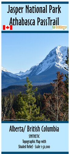
- Jasper National Park - Athabasca Pass Trail - SYNTHETIC
Categories
Jasper National Park - Athabasca Pass Trail - SYNTHETIC
Product Description
Map of the Athabasca Pass Trail from Highway 93A to Committee Punch Bowl (Athabasca Pass) within Jasper National Park, Alberta.
Map is 10x41.53" and has a scale of 1:50,000 with shaded relief. Contour intervals are in 25m and 100m intervals.
The Athabasca Pass is a historical hike with impressive scenery. Much of the trail has not changed since the days of the fur trade. The map ends at the National Historic Site of Athabasca Pass and the Committee’s Punchbowl. Fur traders traditionally stopped here and toasted the officers of the Hudson’s Bay Company. The last park hiker campground is 1 km below the pass.
The map is printed on synthetic/waterproof paper and comes folded in a protective plastic sleeve.


