 Loading... Please wait...
Currency Displayed in
- Home
- Maps By Sport
- Canoe Maps Canada
- Hunlen Falls & Area + Turner Lake Canoe Circuit - SYNTHETIC
Categories
Hunlen Falls & Area + Turner Lake Canoe Circuit - SYNTHETIC
Product Description
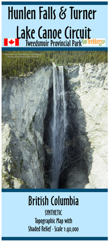
Map of the Hunlen Falls Area and Turner Lake Chain within Tweedsmuir South Provincial Park
The map is at a scale of 1:40,000 with shaded relief and contour intervals of 50 and 250 meters.
Includes the Hiking Trails from Highway 20 to Hunlen Falls/Turner Lake and to/around Ptarmigan Lake.
The map also shows the canoe route, portages, and campsites from Turner Lake to Kidney Lake and trail to Sunshine/Ant Lake
The map has the dimensions of 24 x 41.5 inches
It is printed on synthetic/waterproof paper and comes folded in a protective plastic sleeve.


