 Loading... Please wait...
Currency Displayed in
- Home
- Canadian Hydrographic Nautical Charts/Maps
- Arctic
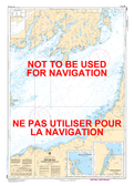
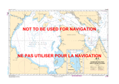
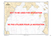
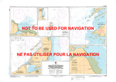
- 5003 - Hudson Bay (Southern Portion) and James Bay/Baie D'Hudson (Partie Sud) et Baie James
Categories
Related Products
-
-
-
-
-
 5800 - Baie James/James Bay $20.00

5003 - Hudson Bay (Southern Portion) and James Bay/Baie D'Hudson (Partie Sud) et Baie James
 and James Bay/Baie D'Hudson (Partie Sud) et Baie James Canadian Hydrographic Nautical Charts Marine Charts (CHS) Maps 5003")
Hover over image to zoom
 and James Bay/Baie D'Hudson (Partie Sud) et Baie James, $20.00 (https://gotrekkers.com/hudson-bay-southern-portion-and-james-bay-baie-dhudson-partie-sud-et-baie-james-chs-nautical-chart-chs-5003/))
Product Description
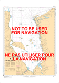
Hudson Bay (Southern Portion) and James Bay/Baie D'Hudson (Partie Sud) et Baie James CHS Nautical Chart CHS 5003
Scale: 1 : 1,000,000
Nautical Charts of Canada by the Canadian Hydrographic Service (CHS) for the navigation of Canadian waters & waterways. Whether it be commercial or for leisure these are the official charts by the CHS.
Click here to view a PDF version of our Arctic index map. (large download)