 Loading... Please wait...
Currency Displayed in
- Home
- Travel Maps
- Hamburg Travel Map
Categories
Related Products
-
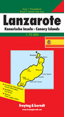 Lanzarotte Travel Map $9.95
 -
 Victoria Map Travel Map $9.95
 -

-

-
 Bolivia Map Travel Map $9.95

Hamburg Travel Map
 included. Map legend includes English.")
Hover over image to zoom
)
Product Description
Hamburg City Map