Loading... Please wait...

Categories

Costa Rica itmb Travel Map

Hover over image to zoom

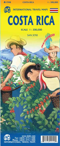
  • Costa Rica on a waterproof and tear-resistant map from ITMB at 1:300,000, with a plan of central San José, an enlargement for the environs of the capital, and a separate index of place names for each side of the map. 

The country is divided north/south, with a very generous overlap and San José included on both sides. The map has altitude colouring, with contours above 1000m plus spot heights. Provincial boundaries, railways, and local airstrips and landing grounds are marked. Road network includes seasonal tracks, and indicates locations of petrol stations. 

National parks and protected areas are marked, and symbols highlight selected accommodation, archaeological sites, museums, beaches and surfing sites, bird sanctuaries, etc. Latitude and longitude grid is drawn at 15’ intervals. Each side of the map has a separate index of place names. 

The map also includes a street plan of San José with names of both streets and districts, and an overprint highlighting accommodation, plus services and places of interest. Enlargements show the environs of the city and the Isla del Coco in greater detail.
ITMB
$9.95
SKU:
IT412120
Weight:
0.20 KGS

 Product Description

Mapping Costa Rica was one of the top priorities for ITMB in its earliest days. Kevin Healey slaved away for months and produced one of the loveliest maps ever published. Eventually, some brilliant cartographers transferred all his detail to a digital format and of course we have kept improving the artwork with each new edition. This is still our most popular title, and a tribute to the ongoing efforts of the Costa Ricans who have made their country such a popular travel destination (safe, warm, great food, wonderful beaches, and a way of life we should all emulate. This is our ninth version of Costa Rica and there is not a lot one can say about it. It retains the same iconic cover, the same ISBN, and the same price. The scale is perfect for exploring the country by road, and gas stations in secondary locations are shown, encouraging visitors to explore. All the beaches are named as are major resorts. The road network is shown relative to quality of construction, and the map includes inset maps of San Jose and its environs

Costa Rica on a waterproof and tear-resistant map from ITMB at 1:300,000, with a plan of central San José, an enlargement for the environs of the capital, and a separate index of place names for each side of the map. 

The country is divided north/south, with a very generous overlap and San José included on both sides. The map has altitude colouring, with contours above 1000m plus spot heights. Provincial boundaries, railways, and local airstrips and landing grounds are marked. Road network includes seasonal tracks, and indicates locations of petrol stations. 

National parks and protected areas are marked, and symbols highlight selected accommodation, archaeological sites, museums, beaches and surfing sites, bird sanctuaries, etc. Latitude and longitude grid is drawn at 15’ intervals. Each side of the map has a separate index of place names. 

The map also includes a street plan of San José with names of both streets and districts, and an overprint highlighting accommodation, plus services and places of interest. Enlargements show the environs of the city and the Isla del Coco in greater detail.

 Find Similar Products by Category

You Recently Viewed...


newsletter

Copyright 2025 GoTrekkers. All Rights Reserved.
 Sitemap | Ecommerce Website Design by High Country Web Design.