 Loading... Please wait...
Currency Displayed in
Categories
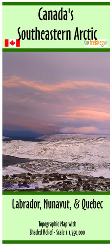
Canada's Southeastern Arctic
Product Description
Canada's Southeastern Arctic
The map is a general overview at a scale of 1:1,750,000
The map shows roads, communities, lakes, rivers, streams, tidal flats, permanent ice and snow, and the arctic circle with shaded relief.
This map is part of a six map series of the arctic
It is printed on paper and comes folded in a protective plastic sleeve.


