Loading... Please wait...

Categories

Basque Ouest 01 Travel Map

Hover over image to zoom

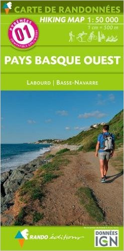
  • The westernmost section of the French Pyrenees between the Atlantic coast and St-Jean-Pied-de-Port on a contoured and GPS compatible map at 1:50,000 from Rando Editions with topographic base provided by the IGN, highlighting local and long-distance hiking trails, cycle and mountain bike routes, etc. Coverage along the Atlantic coast starts at Bayonne / Biarritz / Anglet, and continues eastwards to beyond Saint-Jean-Pied-de-Port. 

Topography is vividly presented by contours at 20m intervals enhanced by shading and graphic relief, plus colouring for woodlands and brushwood. An overprint highlights waymarked local and long-distance trails, including the course of the GR10, as well as other hiking paths, indicating difficult sections. The map also highlights recommended cycling and mountain biking routes. A wide range of symbols presents different accommodation options (campsites, mountain refuges or lodges, gîtes d’etape), locations for various recreational pursuits (mountain biking, climbing, hand gliding, canoeing and rafting, etc), historical and cultural sites, tourist information offices, etc. On the Spanish side of the border, main hiking trails are highlighted but other recreational and tourist information is limited. The map has a 2km UTM grid and its map legend includes English.
IGN France
$9.95
SKU:
IT013380
Weight:
0.20 KGS

 Product Description

IGN hiking map of Pays Basque West scale 1;50,000

The westernmost section of the French Pyrenees between the Atlantic coast and St-Jean-Pied-de-Port on a contoured and GPS compatible map at 1:50,000 from Rando Editions with topographic base provided by the IGN, highlighting local and long-distance hiking trails, cycle and mountain bike routes, etc. Coverage along the Atlantic coast starts at Bayonne / Biarritz / Anglet, and continues eastwards to beyond Saint-Jean-Pied-de-Port. 

Topography is vividly presented by contours at 20m intervals enhanced by shading and graphic relief, plus colouring for woodlands and brushwood. An overprint highlights waymarked local and long-distance trails, including the course of the GR10, as well as other hiking paths, indicating difficult sections. The map also highlights recommended cycling and mountain biking routes. A wide range of symbols presents different accommodation options (campsites, mountain refuges or lodges, gîtes d’etape), locations for various recreational pursuits (mountain biking, climbing, hand gliding, canoeing and rafting, etc), historical and cultural sites, tourist information offices, etc. On the Spanish side of the border, main hiking trails are highlighted but other recreational and tourist information is limited. The map has a 2km UTM grid and its map legend includes English. 

 Find Similar Products by Category

You Recently Viewed...


newsletter

Copyright 2024 GoTrekkers. All Rights Reserved.
 Sitemap | Ecommerce Website Design by High Country Web Design.