Loading... Please wait...

Categories

Austrian Hungary Monarchy Map

Hover over image to zoom

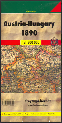
  • The Austro-Hungarian Empire in 1890 on a reproduction of a map produced by Gustav Freytag for his cartographic company in Vienna. The map, drawn at 1:1,500,000, shows internal administrative provinces within the Dual Monarchy, from Bohemia, Moravia, Silesia and Galicia in the north to Bosnia and Herzegovina in the south, with coverage including the neighbouring areas of the Balkans.
  • The Austro-Hungarian Empire in 1890 on a reproduction of a map produced by Gustav Freytag for his cartographic company in Vienna. The map, drawn at 1:1,500,000, shows internal administrative provinces within the Dual Monarchy, from Bohemia, Moravia, Silesia and Galicia in the north to Bosnia and Herzegovina in the south, with coverage including the neighbouring areas of the Balkans.

The map shows railway lines. Skillfully executed hachures present the relief, with plenty of names of geographical features. Latitude and longitude lines are drawn at 1° intervals.
Freytag
$9.95
SKU:
MON1890
Weight:
0.20 KGS

 Product Description

Map of the 1890 Austria Hungary Monarchy at a scale of 1:1,500,000 folded. Map size open 87cm x 67cm.

The Austro-Hungarian Empire in 1890 on a reproduction of a map produced by Gustav Freytag for his cartographic company in Vienna. The map, drawn at 1:1,500,000, shows internal administrative provinces within the Dual Monarchy, from Bohemia, Moravia, Silesia and Galicia in the north to Bosnia and Herzegovina in the south, with coverage including the neighbouring areas of the Balkans.

The map shows railway lines. Skillfully executed hachures present the relief, with plenty of names of geographical features. Latitude and longitude lines are drawn at 1° intervals.

 Find Similar Products by Category

You Recently Viewed...


newsletter

Copyright 2025 GoTrekkers. All Rights Reserved.
 Sitemap | Ecommerce Website Design by High Country Web Design.