 Loading... Please wait...
Currency Displayed in
- Home
- Maps By Sport
- Canoe Maps Canada
- Prince Albert National Park - SYNTHETIC
Categories
Prince Albert National Park - SYNTHETIC
Product Description
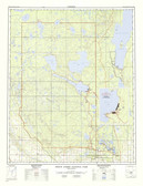
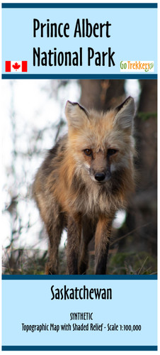
Map of Canoe and Hiking routes Prince Albert National Park, Saskatchewan. scale 1:100,000.
Topographic Map with shading of The Prince Albert National Park in Saskatchewan, Canada. This map is at a scale of 1:100,000K. It is about 32" x 42". Map shows suggested hiking, XC skiing & Canoe routes & portages. This Park was home to the controversial Grey Owl, who is now considered to be Canada's first environmentalist & conservationist. His cabin can be visited via Parks trails.
With updated trails 2022


