 Loading... Please wait...
Currency Displayed in
- Home
- Maps By Sport
- Canoe Maps Canada
- Peel River - Blackstone/Ogilvie River to Fort McPherson & Mackenzie River 6 - Mackenzie Delta set - SYNTHETIC
Categories
Related Products
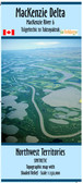


Peel River - Blackstone/Ogilvie River to Fort McPherson & Mackenzie River 6 - Mackenzie Delta set - SYNTHETIC

Hover over image to zoom
)
Product Description
The map set starts at the confluence of the Blackstone and Ogilvie Rivers and ends at Fort McPherson.
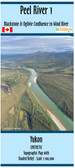
Peel River 1: Blackstone/Ogilvie Rivers to Wind River, with dimensions of 41x10 inches and a scale of 1:100,000 with shaded relief and an inset around Aberdeen Canyon of 1:50,000
Peel River 2: Wind River to Paddle Creek including Taco Bar, with dimensions of 41x10 inches and a scale of 1:100,000 with shaded relief
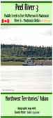
Peel River 3: Paddle Creek to Fort McPherson, with dimensions of 15x41 inches and a scale of 1:150,000 with shaded relief
This map does not include campsite information, rapid descriptions, portages or points of interest.
Printed on synthetic/waterproof paper, the maps come folded in protective plastic sleeves.