 Loading... Please wait...
Currency Displayed in
Categories
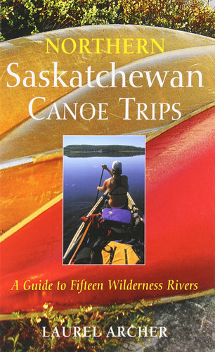
Northern Saskatchewan Canoe Trips - A Guide to 15 Wilderness Rivers
Product Description
There are few places on the planet that still offer true wilderness paddling. Northern Saskatchewan is one of them. Wilderness adventurer Laurel Archer takes us on 15 trips down 15 rivers: the well traveled and the less traveled.
With detailed route descriptions, maps, sage advice on rapids, hazards, campsites, and special attractions, as well as notes on the recreational, historical, and wilderness value of each river.
Northern Saskatchewan is not prairie, but Precambrian Shield country, and this rugged and sparsely populated land is home to some of the best wilderness canoe tripping rivers in the world. With few roads or development of any kind, the wild beauty and solitude of the North is best experienced by canoe.
A large area of the northern half of the Saskatchewan, the Churchill River Upland, is 40% water, made up of lakes, rivers, streams and the rest is muskeg, rock, and boreal forest. Further north, the Athabasca Plain hosts rivers with amazing glacial drift features along their banks, from eskers up to 80 km long, large kames and deposits of moraine to the stunning sand dune fields decorating the southern shore of Lake Athabasca. From the northern shore of this 8000 square km lake to the border of the Northwest Territories, the Taiga Sheild ups the ante. Adventurous canoeists will find awesome granite gorges and heavy waters in this "land of little sticks."
Northern Saskatchewan Canoe Trips: A Guide to 15 Wilderness Rivers covers river trips in all regions of the northern half of the province and for all levels of paddlers, including the well known First Nations and fur trade routes, the Churchill, Clearwater and Sturgeon-weir rivers, routes growing in popularity with modern voyageurs, such as the Waterfound, Fond du Lac, William and Cree rivers, as well as some more lightly traveled routes, like the Wathaman, MacFarlane, Haultain and Porcupine rivers.


