 Loading... Please wait...
Currency Displayed in
- Home
- Maps By Sport
- Hiking Maps
- Mount Revelstoke National Park Map
Categories
Mount Revelstoke National Park Map
Product Description
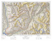
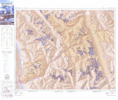
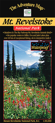
Folded double-sided Chrismar topographic map (1:50,000) on waterproof paper covering Mount Revelstoke, British Columbia including Meadows in the Sky Parkway/ Mt. Revelstoke summit details, the popular routes to Miller, Eva and Jade Lakes plus over 40kms of exceptional hiking, ski and interpretive trails. Map includes info on human and natural history, weather, birds and animals, trail etiquette and safety, hiking and backpacking trails, backcountry camping and more. Best travel map buy available for Mount Revelstoke, British Columbia, Canada.


