 Loading... Please wait...
Currency Displayed in
- Home
- Maps By Sport
- Canoe Maps Canada
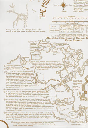
- Middle Track Hayes River Route Historical Canoe Map - Paper
Categories
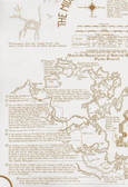
Middle Track Hayes River Route Historical Canoe Map - Paper
Product Description
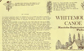
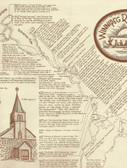
Historical canoe route maps are available for 13 areas within Manitoba. These maps are great for planning your canoeing adventure, when navigating these waters, Canadian topographic maps should be used in conjunction with them. To order the corresponding 1:50,000 scale topographic maps for this route you will need: 053L12, 053L13, 053L114, 053L15, 053M01, 053M02, 053M04, 053M05, 053M06, 053M08, 053M10, 053M11, 053M15, 053M16, 053N05, 053N11, 053N12, 053N13, 053N14, 053C02, 053C03, 053C07, 053C10, 053C15, 053C16, 054F01, 063F01, 063F07, 063F08, 063F10, 063F11, 063F14, 063F15, 063F16, 063G03, 063G04, 063G06, 063G09, 063G10, 063G11, 063G15, 063G16, 063H12, 063H13, 063I04, 063I05, 063I06, 063I07, 063I08, 063I09, 063I12, 063I13, 063I14, 063I15, 063J03, 063J04, 063J06, 063J07, 063J09, 063J10, 063K01, 063K02, 063P01, and 063P02.

