 Loading... Please wait...
Currency Displayed in
- Home
- Canadian Hydrographic Nautical Charts/Maps
- Arctic
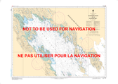
- 5620 - Entrance to/Entrée à Chesterfield Inlet (Fairway Island to/à Ellis Island)
Categories
Related Products
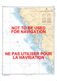

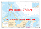
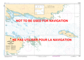
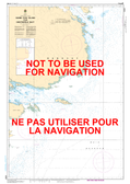
5620 - Entrance to/Entrée à Chesterfield Inlet (Fairway Island to/à Ellis Island)
 Canadian Hydrographic Nautical Charts Marine Charts (CHS) Maps 5620")
Hover over image to zoom
, $20.00 (https://gotrekkers.com/entrance-to-entree-a-chesterfield-inlet-fairway-island-to-ellis-island-chs-nautical-chart-chs-5620/))
Product Description
Entrance to/Entrée à Chesterfield Inlet (Fairway Island to/à Ellis Island) CHS Nautical Chart CHS 5620
Scale: 1 : 40,000
Nautical Charts of Canada by the Canadian Hydrographic Service (CHS) for the navigation of Canadian waters & waterways. Whether it be commercial or for leisure these are the official charts by the CHS.
Click here to view a PDF version of our Arctic index map. (large download)