 Loading... Please wait...
Currency Displayed in
- Home
- Maps By Sport
- Canoe Maps Canada
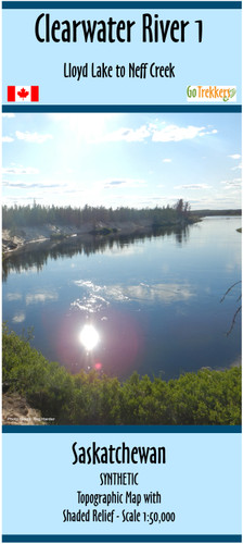
- Clearwater River 1 - Lloyd Lake to Neff Creek - SYNTHETIC
Categories
Clearwater River 1 - Lloyd Lake to Neff Creek - SYNTHETIC
Product Description
Map of the Clearwater River 1 from Lloyd Lake to Neff Creek (approx. half way to Warner Rapids)
The map includes campsites, rapids information, inserts showing major rapids at a larger scale, portages, and points of interest and potential start/end points along the river.
The map has a scale of 1:50,000 with shaded relief.
Dimensions: 41.5 x 25 inches
The map is printed on waterproof/synthetic paper and folded into a protective plastic sleeve


