 Loading... Please wait...
Currency Displayed in
- Home
- Maps By Sport
- Hiking Maps
- Altos De Teno Chile Trekking Map
Categories
Altos De Teno Chile Trekking Map
Product Description
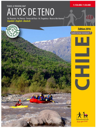
First map of the mountain range east of San Fernando and Curicó. General map 1: 150,000 of the area between the Tinguiririca Volcano (4280 m) and the Peteroa - Azufre Volcano (4113 m), with the Planchón Volcano (3985 m), the Alto del Padre Hill (3349) and the Alto Huemul Private Reserve . Two maps detail 1: 50,000: Reserva Alto Huemul and Planchón - Peteroa. With trekking routes, height lines every 50 m, grid compatible with GPS, shelters, accommodation, campsites, etc. Pictures of the attractions and drawings of the local fauna. Map developed by the Cartography Institute of the Technical University of Dresden, Germany.
Trekkingchile, 1st edition 2017
Tourist and trekking map, Central Chile, scale 1: 150,000 / 1: 50,000
Printed in Stone Paper, ecological and resistant to breakage and water.
Spanish English German.


