 Loading... Please wait...
Currency Displayed in
- Home
- Maps By Sport
- Hiking Maps
- Jasper National Park - Tonquin Valley
Categories
Jasper National Park - Tonquin Valley
Product Description
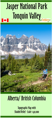
Map of trails leading into the Tonquin Valley from Highway 93A within Jasper National Park, Alberta.
Map is 19x33", has a scale of 1:40,000 with shaded relief. Contour intervals are in 25m and 100m intervals.
The map shows the Tonquin Valley Loop and connecting trails along with campgrounds, business in the area, hostels, and lodges
The map is printed on paper and comes folded in a protective plastic sleeve.


