 Loading... Please wait...
Currency Displayed in

- Home
- Travel Maps
- Pakistan Travel Map Freytag
Categories
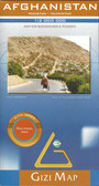
Related Products
-
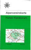
-
 Victoria Map Travel Map $14.95
 -
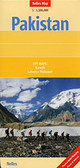 Pakistan Travel Map $11.95
 -
-
 Bolivia Map Travel Map $12.95

Pakistan Travel Map Freytag

Hover over image to zoom
)
Product Description
Freytag map of Pakistan